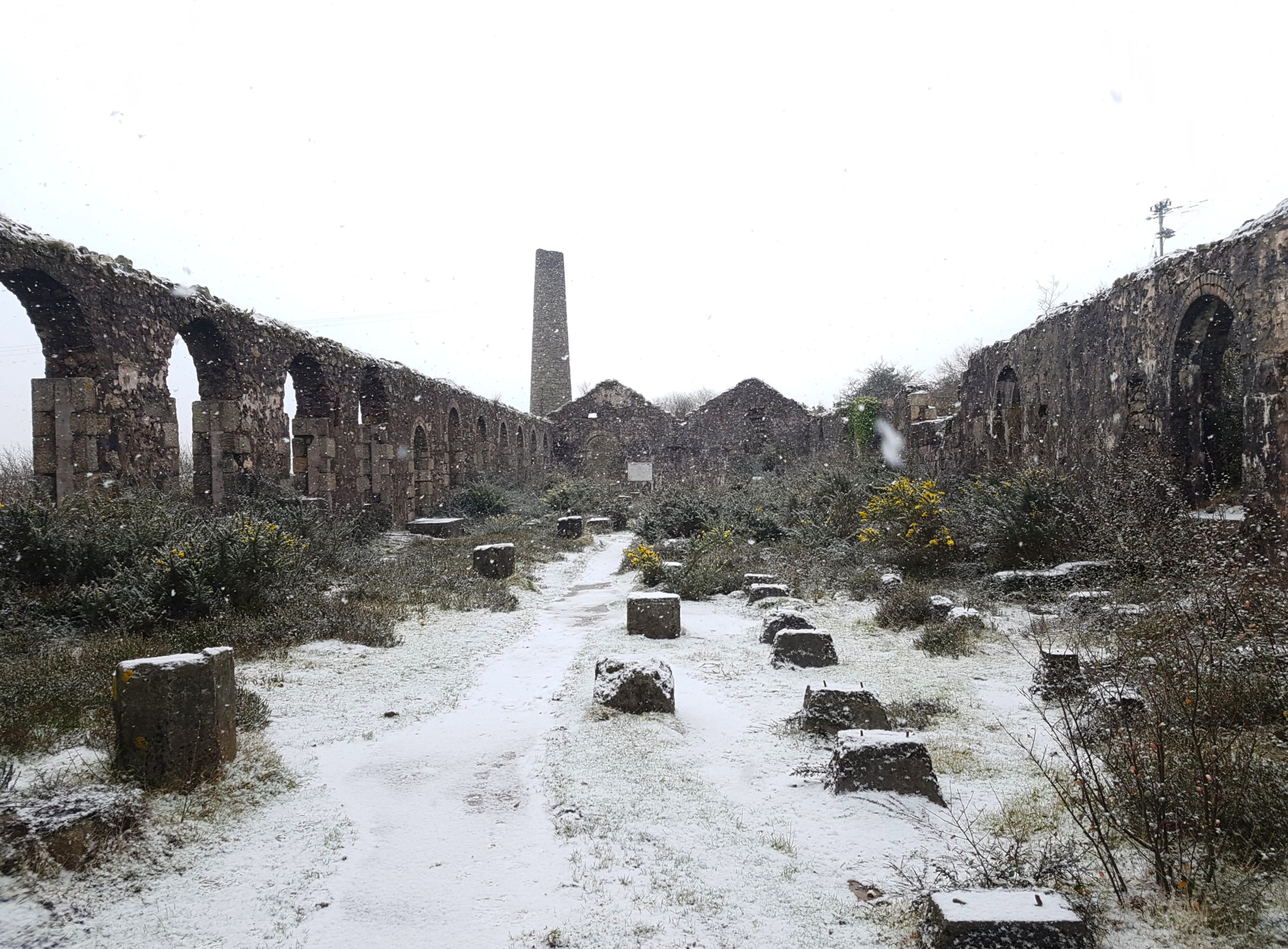
A common site along the heritage cycle path near Carnkie, the wonderful Wheal Basset is just a small part of a much bigger mine.
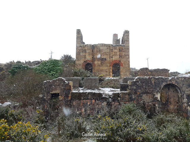
Mining started here as early at the 16th century, with the mine Carnkie Bal operating on the same site. Shafts can be seen on the site on maps dating from 1737 and the area would have been worked as part of North Basset and South Wheal Frances before becoming a mine in its own rite. The lease for Wheal Basset was granted in 1851 and over the next ten years grew in size. By 1865 248 men, 46 women and 63 boys were employed and the mine had numerous engine houses.
The most prominent engine house of the Wheal Basset sett belongs to the stamps engine built in 1868 which was erected with its neighouring vanner house. An incline tramway was then installed from Lyle’s shaft at the bottom of the valley up to the new engine, powered by a 12′ steam hoist.
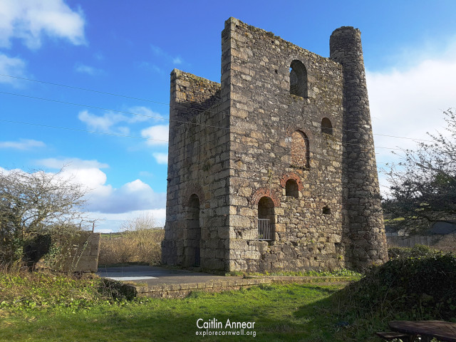
A change in copper prices for the worst meant that mining the ore became unviable by 1870 and the mine switched to predominantly tin production, altering their dressing floor to compensate. The North Basset section of the mine was nearly exhausted by this point, and eventually closed two years later. Some of the western parts were sold to South Wheal Frances.
In 1878 the mine went back and revisited the North Basset mine, deepening these sections led to discovery of the Great Flat Lode tin deposits. Lyle’s shaft became the main focus for some time and new equipment was installed.
Despite this, over the next fifteen years the financial situation continued to worsened. Tin prices continued to drop and older machinery could no longer be maintained. In 1896 the sett was amalgamated with South Wheal Frances and West Basset to form Basset Mines Ltd.
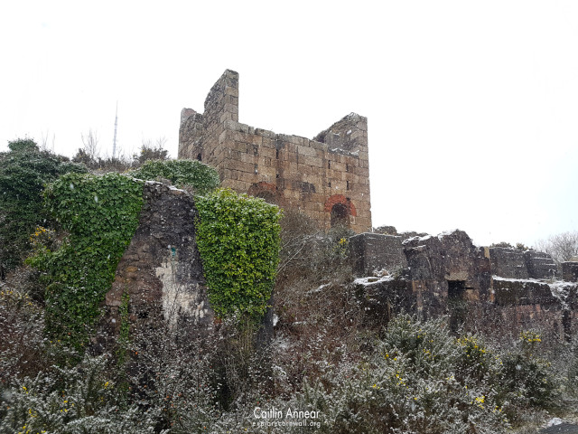
The joint venture lasted until 1918. The onset of WWI saw a significant loss of workers, which along with every increasing costs meant it could go on no more. Ore prices continued to drop and couldn’t pay the expense of pumping three million galloons of water from the mine. Several of the engine houses, especially Pascoe’s, needed expensive repair work.
One last attempt began in 1938 and new dressing equipment was installed to rework the old burrows. The scheme was unsuccessful and put up for sale and the British and Malayan Tin Syndicate stopped work in the last 1940’s.
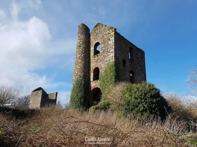
Engine Houses
Basset Mine had a number of engine houses over its life. The prominent remains belong to some of its later engines; at the base of the valley are the two houses on Lyle’s shaft. One is the 80′ pumping engine made by Harvey & Co in 1879 – to make this house, four other engine houses were demolished to provide the stone. The other is the 27′ whim, built just a year later. This was put aside about ten years later and a 24′ horizontal engine used instead.
Across the valley alongside the cycle path is the remains of the two 30′ rotary beam engines that worked 96 heads of stamps. These were erected in 1868 (although another text states the second wasn’t added until 1882) and worked until they were converted into an ore bin during the 1940 reworked, feeding 20 heads of California stamps instead.
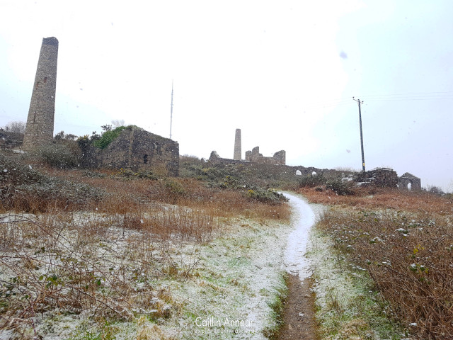
During the 1890’s, another whim was installed on Miner’s shaft, this being a 24′ horizontal whim. Close to Lyle’s shaft is the remains of the small engine that circulated water around the dressing floor and may have done some crushing as well.
One of the engine houses demolished and recycled at Lyle’s was the one at Theager’s shaft; this was at work in 1876, but there’s no documented erection date. Others at Sump and Richard’s shaft were demolished at the same time. Remains of yet another house have been found at Robert’s shaft, although this doesn’t appear on any ordinance maps.
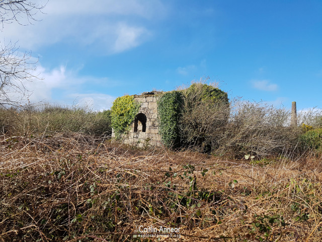
Grace’s (180 fathoms/329m), Miner’s (72 fathoms/132m), Lyle’s (230 fathoms/421m), New (132 fathoms/241m), Flat Rod (42 fathoms/77m), Mitchell’s (50 fathoms/91m), Doctor’s (70 fathoms/128m), Marriot’s (80 fathoms/146m), Boundary (45 fathoms/82m), Sampson’s (115 fathoms/210m), Carnkie (115 fathoms/210m), Steven’s (100 fathoms/183m), Richard’s (100 fathoms/183m), Robert’s (100 fathoms/183m), Harris (60 fathoms/110m), Theaker’s (110 fathoms/201m), Old Sump/Engine (160 fathoms/193m), Fisher’s (55 fathoms/101m), Rosewarn, William’s (137fathoms/250m) and Dennis (80 fathoms/146m).
North, Copper, Great Flat Lode, Vivian’s, Paddon’s, Geisler’s, Theaker’s/Theager’s, Fisher’s, Lloyd’s, William’s, New, New North, Carbona, North Basset, South Frances and Bonds.
1815 – 1905
14,178 tons (14,405,513 kg) black tin and 94,200 tons (95,711,619 kg) 8.5% copper.
1846 – 1866 North Basset sett
27,800 tons (28,246,104 kg) 8% copper and 165 tons (167,648 kg) black tin.
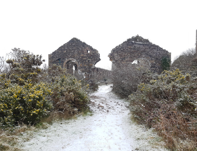
Access to the mine is free and all of the shafts and building made safe.
There is a very small amount of parking at Seleggan, just a short, but steep, walk away.
Brown, K., & Acton, B. (2007). Exploring Cornish Mines: Volume One (4th ed.). Landfall.
Dines, H. G. (1956). The metalliferous mining regions of south-west England. British Geological Survey.
Lawson-Jones, A. (1995). East Basset: An Archaeological Watching Brief. https://map.cornwall.gov.uk/reports_event_record/1995/1995R046.pdf
Nance, Damian., & Brown, K. (2014). A complete guide to the engine houses of West Cornwall. Lightmoor Press.
Palmer, M., & Neaverson, P. (1987). The Basset Mines: Their History & Industrial Archaeology. Northern Mine Research Society.
Sharpe, A. (1992). East Basset Stamps: Archaeological Assessment. In Cornwall Archaeological Unit. https://map.cornwall.gov.uk/reports_event_record/1992/1992R025.pdf
