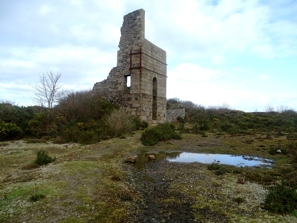
On the road between Pool and Four Lanes stands a relic of West Wheal Basset Mine. It’s stamping complex sits down the road in Carnkie. Previously known as Wheal Charmer and Wheal Haste, mining in the area dates back to medieval times. The site was initially used for farming, but a 1700’s map does show a leat from Wheal Jowel adit all the way around to Wheal Druid in Pool, with the water used to power a water engine and later a pressure engine. A lease was granted for the area in 1835 by Lady Basset under the name Wheal Haste and a 36″ engine erected.
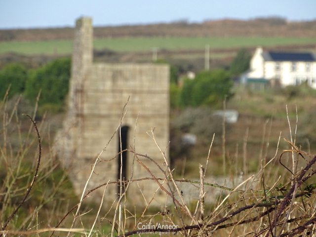
West Basset as we know it opened in 1846 and was a successful copper mine up until the discovery of the Great Flat Lode in 1869. Unfortunately the mine failed to fully transition over to tin production, predominantly due to poor management and lack of stamping facilities.
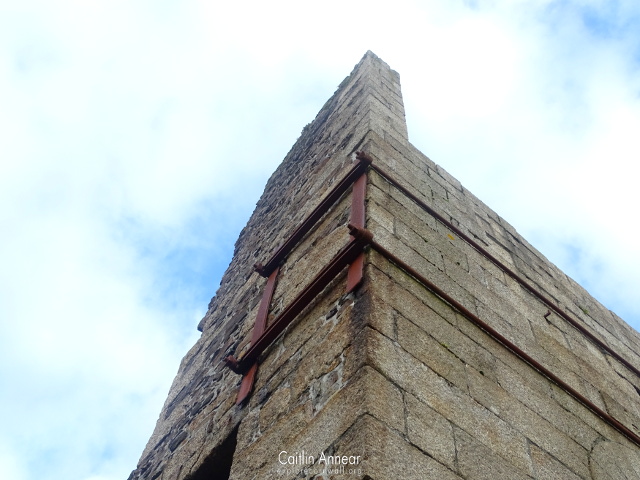
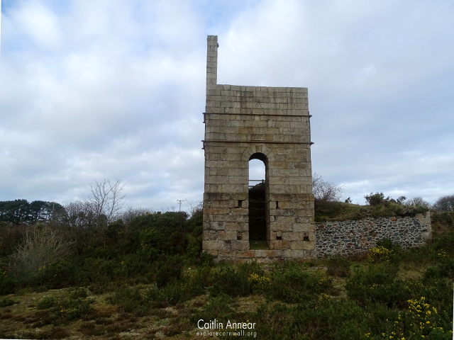
Thomas’ 60″ pumping engine house was built in 1854 and named after the companies chairman. In 1896 is suffered a fire which bent the piston rod and the bob was then moved to Pascoe’s 80″ pumping engine across the road. This house was unique as its chimney was inside the house walls. The engine did some winding along with its pumping duties.
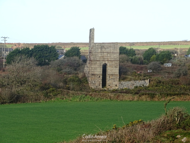
In 1896, West Basset amalgamated with its neighbour South Wheal Frances and became part of Basset Mines Ltd. Underground mining ceased following this and the engine was only used to supply water to its separate stamps and dressing floor. The engine stopped working completely in 1899 and the site appears abandoned on the 1907 map, with the rest of the mine closing in 1917.
Grenville (170-fathoms/311m), Percy’s (134-fathoms/254m), Old Sump (114-fathoms/208m), Thomas’ (170-fathom/311m), North Wheal Frances (154-fathoms/282m), Old Skip (120-fathoms/219m) and Carnkie.
Great Flat Lode, West Wheal Frances lode, Copper or North lode and North Lode of South Wheal Frances.
1852-90
10,150 tons (10,312,876 kg) of tin and 101,500 tons (103,128,761 kg) of copper.
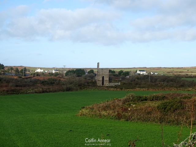
While only the engine house remains, the mine previously had a substantial number of other buildings. In front of the house, to the east was a balance bob housing while to the west was a capstan. On the western side of the engine sat its very large boiler house which held two boilers, with another building on the eastern side, potentially a miners dry. Two tramways ran alongside the north and south of the site – one of these went to Old Skip shaft while the other went to the stamps in Carnkie. Maps show that on the northern side of the house used to lie a complex arsenic works including calciners, flues, labyrinth and a chimney while on the southern side of the road used to sit a winding engine house.
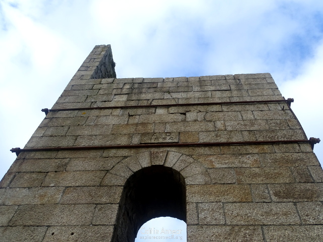
The engine house was consolidated as part of the mineral tramways project in 2006-07, and its shaft capped sometime previously.
The closest parking is at the South Wheal Frances site.
Brown, K. and Acton, B. (2007) Exploring Cornish Mines: Volume One. 4th edn. Truro: Landfall.
Cornwall Archaeological Unit (1991) Engine House Assessment: Mineral Tramways Project. Available at: http://map.cornwall.gov.uk/reports_event_record/1991/1991R008.pdf (Accessed: 17 March 2018).
Dines, H. G. (1956) The metalliferous mining regions of south-west England. British Geological Survey.
Nance, D. and Brown, K. (2014) A complete guide to the engine houses of West Cornwall. Gloucestershire: Lightmoor Press.
Sharpe, A. (2007) A Report for The Mineral Tramways Project: Thomas’ Shaft, West Basset, Piece, Cornwall. Available at: http://map.cornwall.gov.uk/reports_event_record/2007/2007R070.pdf.
