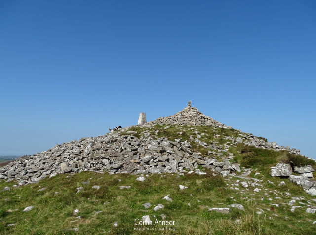
Just off the town of Camelford is Cornwall’s two highest points: Brown Willy and Rough Tor.
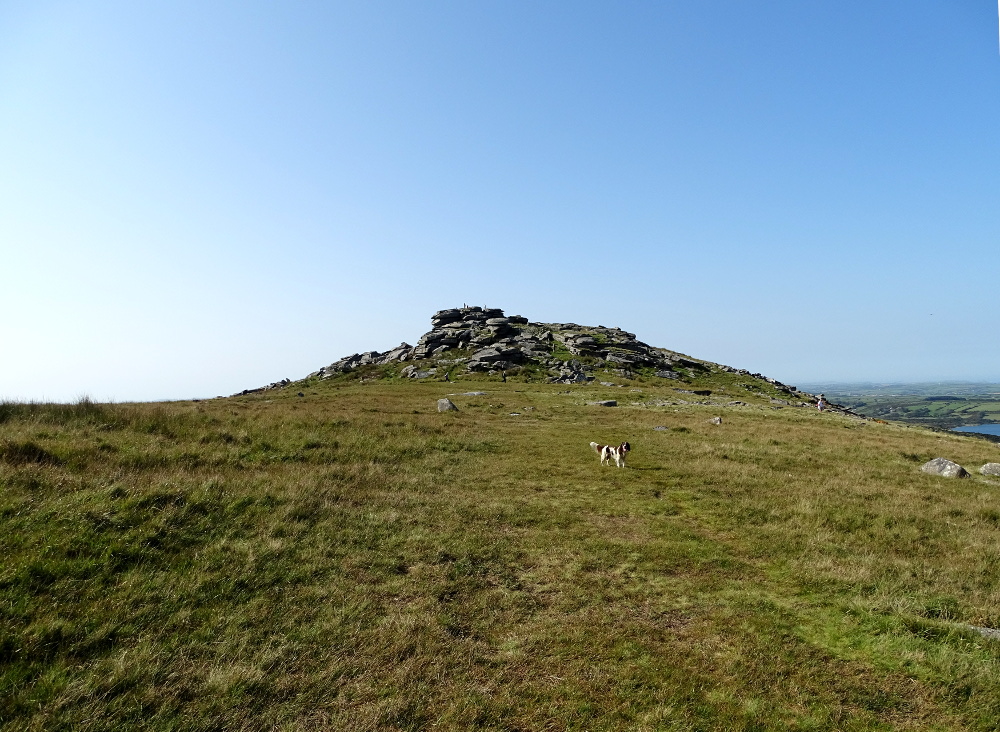
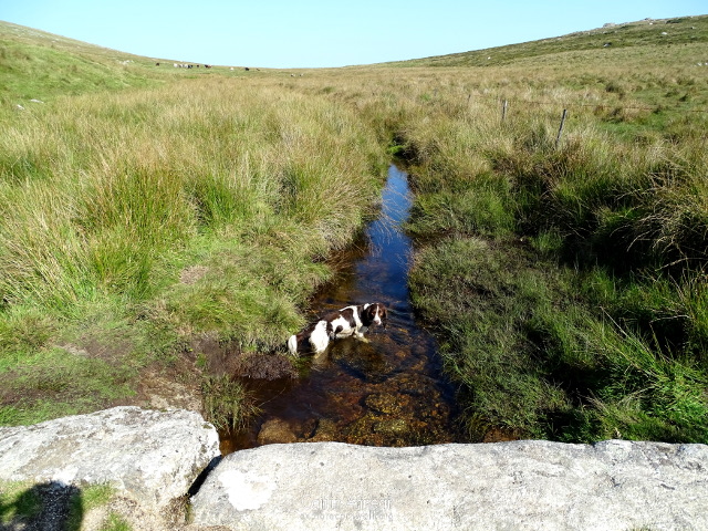
We started our walk from the Rough Tor carpark just above Rough Tor ford, crossing the small bridge while our noble companion Rupert took an obligatory dip in the water. After dodging some small streams running down the hill, we began to ascend, heading first towards Showery Tor.
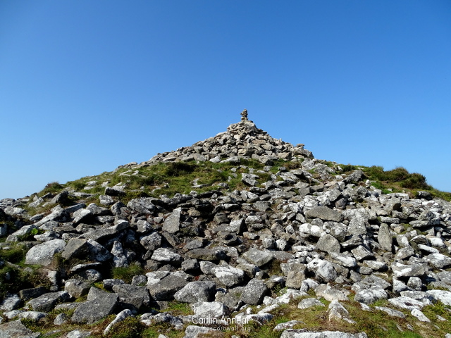
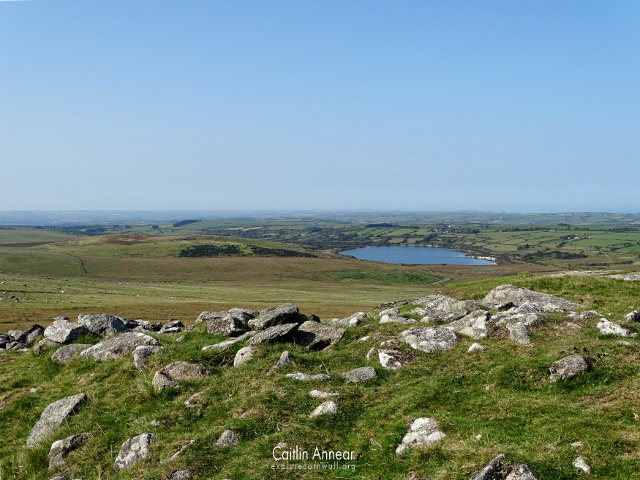
As soon as we reached the top of this tor, we were given amazing views across Bodmin Moor, and especially of our final destination, Brown Willy. All across the western side of hill were numerous sheep and horses grazing, as the area still has agricultural uses. Showery Tor is also a unique example of a ring cairn, where there is a circular bank with a tor in the middle.
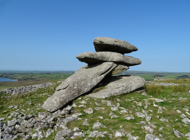
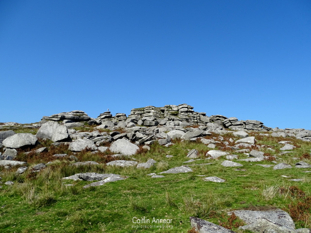
From Showery Tor, we picked our way across the rocks to Little Rough Tor and then into Rough Tor itself. With Rupert leading the way, we were soon standing on Cornwall’s second highest peak; at 386m above sea level, this peak alone offers fantastic views across the county. Brown Willy itself tops out at 415m.
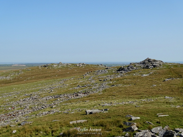
All of the tors in the area have a very long history, with their substantial height attracting people since Neolithic times. There is evidence of stone walls, cairns, marked stones and hut circles all around the rocky outcrop, suggesting early attempts to make Rough Tor a home and/or place of ceremony. Previous research estimates that the number of round houses in the area may have been inhabited by as many as 500 people overtime, although some of these may have been seasonal.
A lost feature from the summit is that of the medieval chapel of St Michael. A licence to build a chapel was granted to Sir Peverelle in 1371, however over time any stones that would have been used to build have been removed, leaving only the foundations. On the south-east corner of where the chapel would have stood now holds a memorial plaque to the 43rd Wessex Infantry Division for the lives lost at the end of WWII.
Our next move was to clamber down from Rough Tor and onto the bottom of the valley between the two tors. Between the Roughtor and the river, Rupert decided to roll in several sheep poop piles, so he was given a quick bath in the river before we headed up the other side.
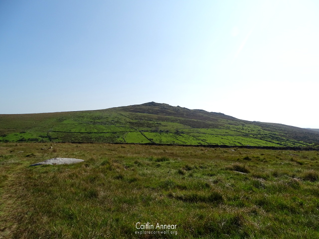
Not long after we reached the top of Brown Willy, the name of which came from the Cornish ‘Bronn Wennili’, meaning Hill of Swallows. Attempts have been made in the past to have its name changed, but Brown Willy has always stuck.
We stopped for a quick picnic while Rupert scouting the surrounding area, taking in the amazing views from the peak. While we ate, we watched the local farmers rounding up their sheep on the side of Rough Tor. A quick trip around the tor with Rupert was the end of our walk, and we retraced our steps back down the valley and across Roughtor to the car to go home.
Access is free to all, although the climb is quite steep so may be difficult for those with mobility issues.
There is a small free carpark at the base of Rough Tor, just be aware its down a very long narrow lane.
Cornwall Guide (2020) Brown Willy. Available at: https://www.cornwalls.co.uk/bodmin/brown-willy.htm.
Johnson, N. and Rose, P. (1994) Bodmin Moor: An Archaeological Survey Volume 1. Available at: https://map.cornwall.gov.uk/reports_event_record/1994/1994R034.pdf.
National Trust (2020) St Michael’s Chapel, Roughtor summit. Available at: https://heritagerecords.nationaltrust.org.uk/HBSMR/MonRecord.aspx?uid=MNA100275.
Ordinance Survey (2020) Rough Tor. Available at: https://getoutside.ordnancesurvey.co.uk/local/rough-tor-cornwall.
Preston-Jones, A. (1994) Roughtor. Available at: https://map.cornwall.gov.uk/reports_event_record/1994/1994R048.pdf.
