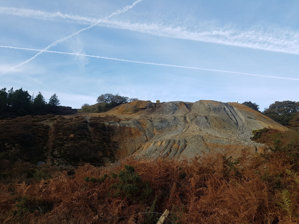
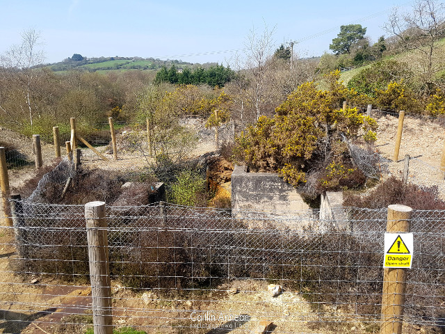
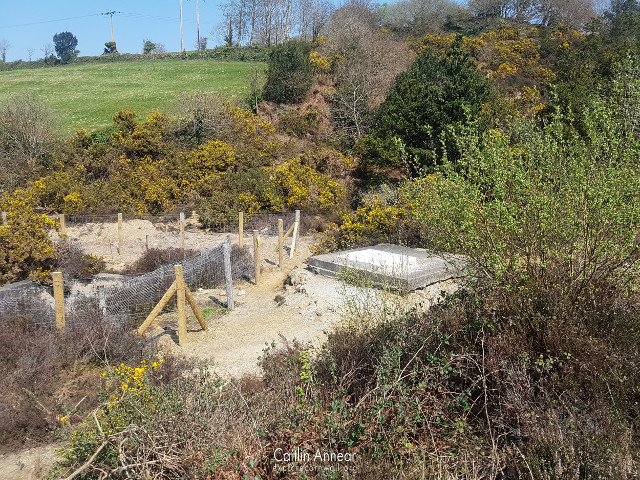
The remains of Nangiles mine are a common site for anyone heading along the mineral tramways track between Bissoe and Twelveheads. The most notable left over of this working is the large tailings dump that stretches down from Engine shaft to the pathway that the Redruth to Chacewater Railway would have run along.
In 1808 Nangiles and Bread and Cheese mine were already at work with a steam engine. Large quantities of copper, tin and zinc were being turned out. By 1819 the mine had reached 70 fathoms (128m) in depth, but was starting to struggle to find as much copper as its neighbours.
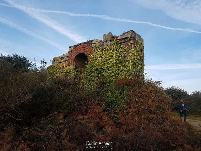
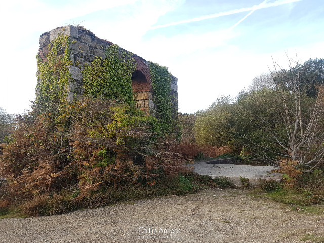
Prior to 1848 Nangiles was worked alongside its neighbour Wheal Andrew, however they both stopped working in this year. In 1862 work resumed again with a new 80-inch pumping engine being erected on Engine shaft. This was later sold to Wheal Rose United in 1872, where two years later it was moved to Holmbush Mine. Unfortunately, in 1967 when the Wheal Jane group were investigating the site, the engine house and its stack were deemed unsafe, and were significantly reduced in size; only the arch from the bob wall remains.
By 1870, the mine had reached 160 fathoms (m) in depth and was working mostly for pyrite and blende. The main issue was that the water in the mine was incredibly corrosive and the pumps had to be lined with brass, a very expensive outgoing for the company. Between 1905 and 1915 the mine was worked as part of Falmouth Consolidated Mines. Then from 1969-79 and 1980-91 the area was investigated by the Wheal Jane group and mined for tin.
Following the closure of Wheal Jane and the withdrawal of a number of grants that paid for the running of its pumps, a new solution for the removal of mine water had be to made. Following a discharge of contaminated water in late 1991, a decision was made to pump water from a blocked adit up to a higher level where it could be treated. However costs quickly mounted and this was abandoned over the Christmas period until further work could take place in the New Year. By mid January pumping still hadn’t recommenced and on the 16th approximately 50 million litres of toxic mine water was released into the Carnon River through the now burst concrete plug on the Nangiles Adit (or rock-fall, depending on source). While the immediate Carnon River was used to the constant influx of toxic water from the many mines that feed into it, it was downstream in the Restronguet Creek and Fal River that there a greater impact on wildlife.
Pumping was immediately restarted and plans for a passive treatment plant put into place at the Wheal Jane site. This plant was fairly successful (apart from being put in back to front), but there was also the risk further contamination, so a more permanent plant needed to be put in. Between 1992-2000 a temporary plant was installed, with planning for the permanent plant being submitted in 1998.
The mine had at least three engine houses over its life.
The most famous of these is the 80″ pumping engine on Engine shaft. This was erected in 1862, but only worked for ten years when it was sold to Wheal Rose United, then onto Holmbush mine.
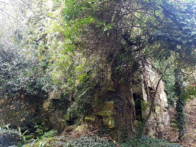
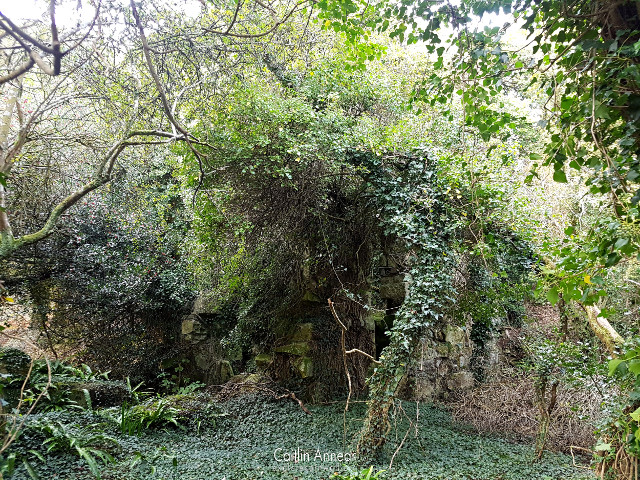
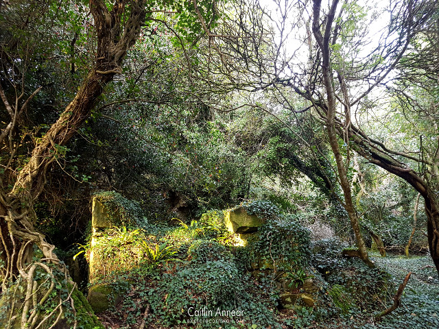
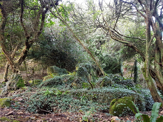
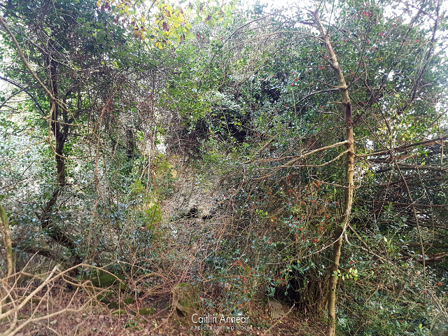
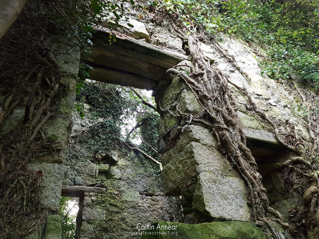
Hidden deep in the bushes is the precarious remains of the 36″ stamps engine built in 1871 from the Welsh Gold Mining Co. Now held together only by ivy and luck, this once drove 84 heads of stamps prior to the engine being sold to West Condurrow in 1891. It ended its life at Wheal Grenville.
The other engine on the site was a 70″ pumping engine erected in 1847 and sold three years later to Crane and Bejawsa Mine in Camborne.
Engine (130-fathoms/234m), Bread and Cheese (90-fathoms/165m), Phillip’s, Tregonning’s, Little Bread and Cheese and Crane.
Mundic/ Baldu and Nangiles Copper.
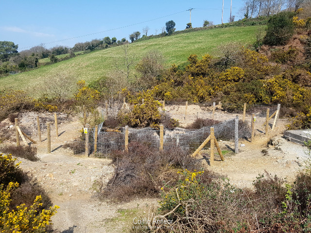
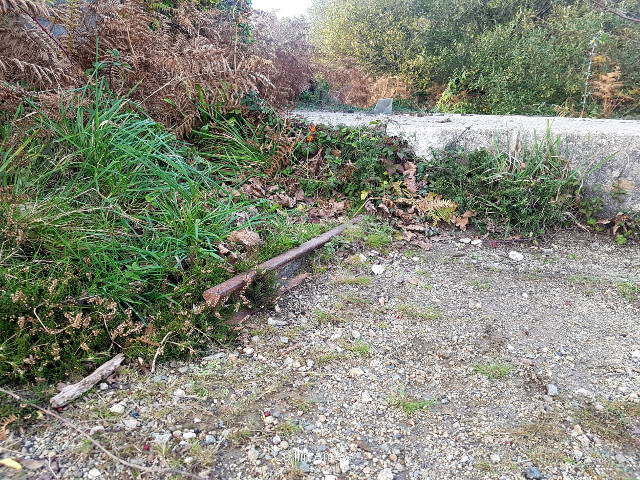
Nangiles mine sits on the Bissoe Tramway trail and is all free to access. Both the remains of Bread and Cheese shaft and Engine shafts engine house can clearly be seen from the public footpath. To safety get to Engine house, rather than attempting to scale the large tailings, there is a twisting footpath that leads right to it.
Along this footpath, on the second turn you may be able to spot the now very overgrown stamps engine house. This house, nor the shafts around it have been capped or consolidated, with the engine house being held up by ivy, so is very dangerous.
The nearest parking is along the road into Twelveheads, or you can park a little further away in the Bike Chain carpark (although you have to buy something at the shop).
Cornwall Archaeological Unit (1991) Engine House Assessment: Mineral Tramways Project. Available at: http://map.cornwall.gov.uk/reports_event_record/1991/1991R008.pdf (Accessed: 17 March 2018).
Cornwall Records Office (no date a) Nangiles Old Map. Available at: https://www.aditnow.co.uk/Photo/Nangiles-Old-Map_70744/ (Accessed: 30 April 2020).
Cornwall Records Office (no date b) Nangiles Old map 2. Available at: https://www.aditnow.co.uk/Photo/Nangiles-Old-Map-2_70745/ (Accessed: 30 April 2020).
Dines, H. G. (1956) The metalliferous mining regions of south-west England. British Geological Survey.
Hamilton-Jenkin, A. K. (1963) Mines and Miners of Cornwall: VI Around Gwennap. Truro: Truro Bookshop.
Nance, D. and Brown, K. (2014) A complete guide to the engine houses of West Cornwall. Gloucestershire: Lightmoor Press.
Paul L. Younger (2002) ‘Mine Water Pollution From Kernow to Kwazulu-Natal: Geochemical Remedial Options and Their Selection in Practice’, Geoscience in south-west England, (10), pp. 255–266. Available at: http://www.ussher.org.uk/journal/00s/2002/documents/Younger_2002.pdf (Accessed: 29 April 2020).
