Boswedden mine stretches up the north coast from Cape Cornwall to Wheal Edward Zawn and inland as far as Wheal Drea. Much like its neighbours Wheal Owles and Botallack, is an amalgamation of a number of smaller workings. These include Wheal Williams, Buzza, Wheal Praze, Yankee Boy, Great Trelewack/Porthledden, Little Trelewack, Great Weetg, South Weeth, Kenidjack Cliff, Wheal Castle and Wheal Zennor.
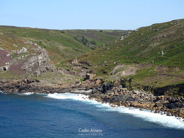
Work here started long before proper records began, with the first mentions being in Boscean section of the mine in 1508. Most of the work here at this time was tin streaming and stamping, utilising the steady flow of water through the Kenidjack valley for this. A stamping mill was built in 1537 with this very idea in mind. Work started at Wheal Zennor in 1782.
By 1822 work was underway at Wheal Castle, Wheal Call and Boswedden with a 65’ water wheel in place at the end of the valley. While engine houses were already well established in Cornwall by this point, the valley had such a ready supply for its ore dressing that they weren’t often needed.

Between 1836 and 1872 several smaller mines amalgamated under the name Boswedden and Wheal Castle. During this period an incline shaft was sunk, heading out under the sea, however they found the ground was very poor. By 1864 there were five engine houses on the mine, although some of them worked part time due to the quantity of water gained from the stream.
In 1872 Boscean and Wheal Cunning sections were added and started work under the name Wheal Cunning United, but this venture was short lived. Two years later just Wheal Cunning was at work and many items from the mine were up for sale, before closing in 1876. Between 1883-6 some efforts were made at Wheal Castle, but little came of this. The Great Freeze of 1892 left several of the buildings in the valley destroyed, and what was left was used for demolition practice during WWII.
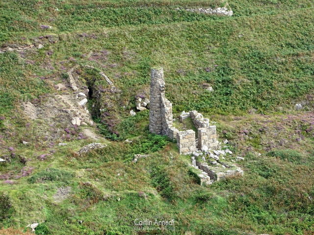
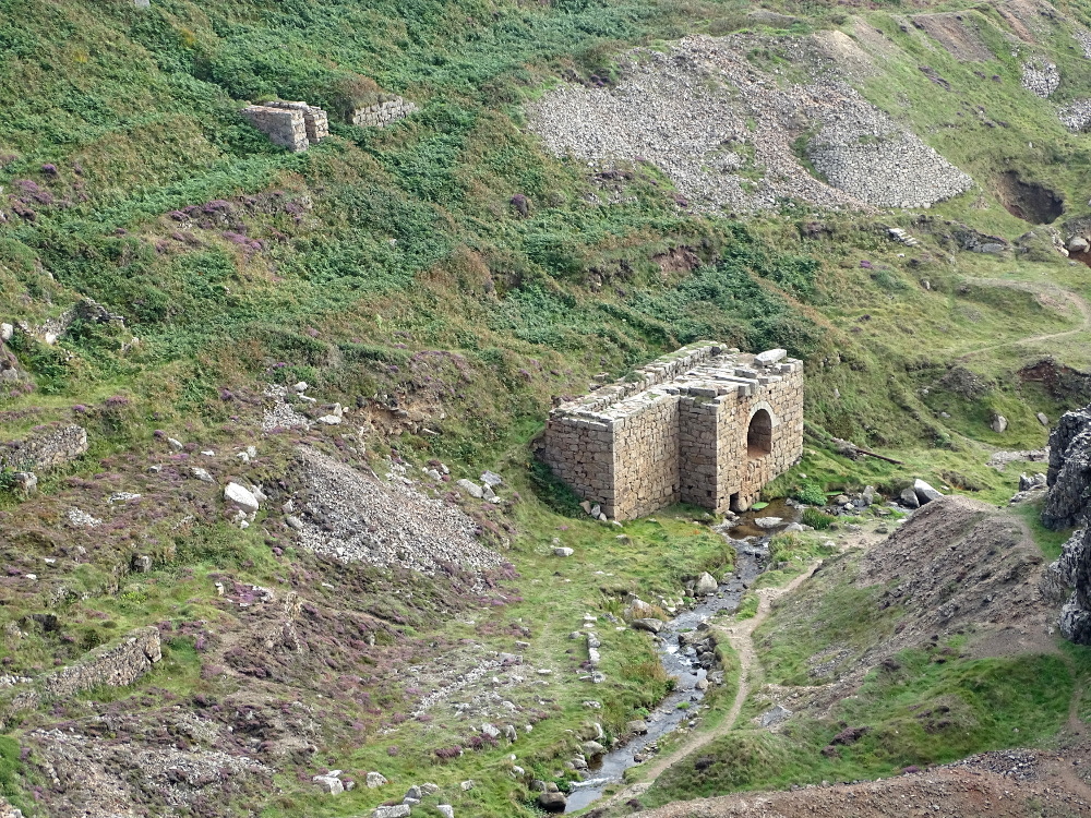
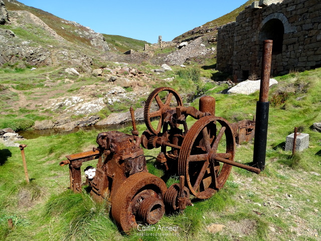
The remains of the 28″ stamps engine, consolidated by the National Trust after being demolished by military during WWII.
Throughout its life there were only five engine on the mine site, some of which worked part time. There was a 40″ pumping engine, 28″ stamps engine, 37″ (or 36″) pumping engine on Wheal Call and a small engine at Wheal Castle. I can’t fine anything on the fifth engine.
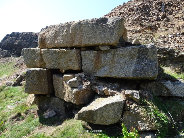
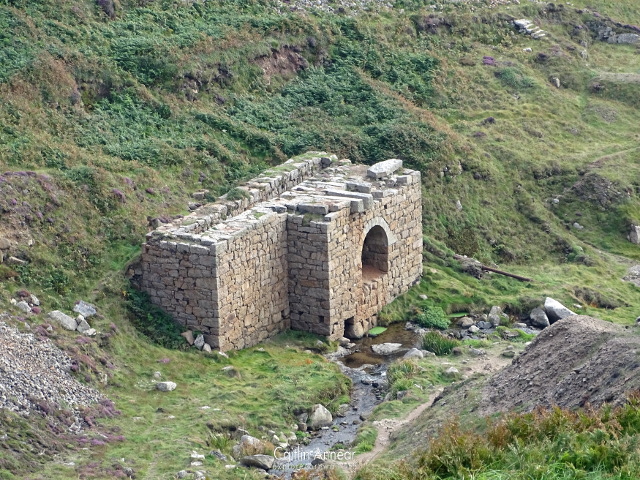
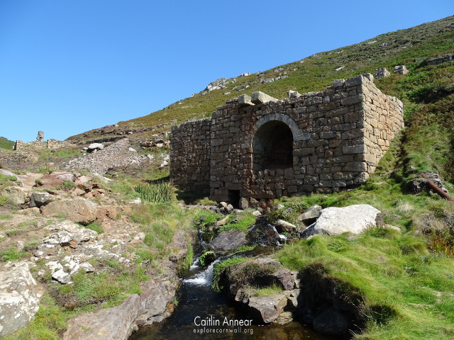
Boswedden is by far more famous for the ginormous water wheel housing at the base of the valley. In 1837 a 65′ wheel pit was erected, making it the largest in Cornwall. The one that remains today is not for the 65′, but more likely for the 30′ (enlarged to 52′ in 1865) wheel put up later on. This would have driven buddles and pumped from two shafts using flat rods.
Wheal Castle, Boynes, Wheal Castle North, Skidney, Foreman, Wheal Williams, Wheal Castle South, Little Weeth, Red Weeth, White Weeth, Wheal Call, Praze and Eade’s.
There were at least 34 shafts on the whole sett. Some of this include: adit (40 fathoms/73m), Diagonal (95 fathoms/174m), Wheal Call Engine (85 fathoms/155m) and Praze).
Wheal Castle: 1821; 16 tons (16,256 kg) of 6% copper and 75 tons (76,203 kg) haematite.
Boswedden and Castle: 1837, 1841, 1853-76; 1,375 tons (1,397,064 kg) of tin and 200 tons (203,209 kg) 10% copper.
Yankee Boy: 1859-60; 15 tons (15,240 kg) tin.
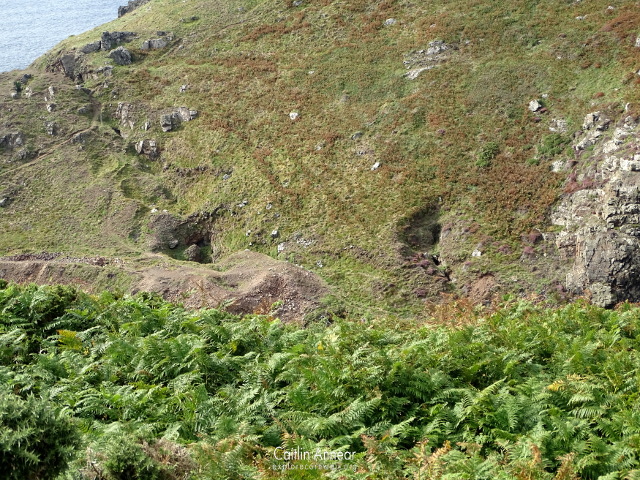
The whole mine is free to access via the southwest coast path. This particular section of path is however very uneven and not as suitable for those with mobility issues.
The closest toilets and food are at the National Trust Cape Cornwall carpark, or slightly further to Botallack.
The closest parking is the National Trust Cape Cornwall carpark.
Brown, K. and Acton, B. (2007) Exploring Cornish Mines: Volume One. 4th edn. Truro: Landfall.
Dines, H. G. (1956) The metalliferous mining regions of south-west England. British Geological Survey.
Sharpe, A. (1993) St Just: An archaeological survey of the mining district volume II. Available at: http://map.cornwall.gov.uk/reports_event_record/1992/1992R032.pdf (Accessed: 30 August 2019).
Spargo, T. (1864) The Mines of Cornwall: Land’s End Peninsula. Truro: D Bradford Barton Ltd.
